Wednesday, January 15, 2014

What's a Sagada with you?

I left off last on the morning of our day in Sagada since we were a bit picture happy, weren't we. I didn't want to overload you!

After a delicious meal of fried pork fat (no seriously, insanely delicious), we got ready to go check out Sagada's caves. While we had the option of doing the more serious caving, we opted for the easier one. 

Here's how it went down:

We started off with an easy walk down to one cave to see a very large collection of coffins. Notice again that there are the shorter kind. Jun, our guide, was pointing out that some of the ends of the coffins look like faces. Do you see it?


Then we had a 1.5 kilometer walk to the next cave. 

More rice terraces. I still think they're pretty. :o) 

Just like Colorado, right?

Like I mentioned before we opted for the easier cave, but we were still a bit nervous...


No need! We just followed our guides and had a blast!


I lost him! Where'd he go??


These formations were like walking on a pumice stone; it was easier to walk barefoot, and there was no way to slip. 


I liked these particular formations since they looked like rice terraces. 


Now with even smaller "terraces!"

We hit the dead end and had fun going back up.

Did I mention that there was no way to slip???


:o)

No, mom. No falling here. 

A lovely way to spend the afternoon!

On the way back into town, Jun needed a snack and decided to instruct us on how to eat "balut" properly. For those of you who don't know, balut is a fertilized duck egg that is cooked inside the shell. So imagine making a hard-boiled egg and cracking it open to find a little blob that would have grown a beak, feet, and feathers in a week's time. Yep. Filipinos get excited when they see that.


Oh, we wouldn't want to spoil our appetite for dinner now, would we???


Tuesday, January 14, 2014

In-a-Sagada-Were-We-da

For our next stop, we were in a wonderful little town called, Sagada. (This explains my title, which Mark says is silly, but I think is lovely.) :o)

We really liked it here! It felt a lot like Colorado, with higher altitude, pine trees... We even found some "Telluride Blues and Brews" stickers in some places in town, courtesy of one of our tour-guide's previous clients. 

We arrived in the afternoon and took a walk to where they have public access to their hanging coffins. 


The last to be "buried" there was only a few years ago (the blue and white one). There are a few short and stubby coffins that are made out of one tree trunk that makes you think that there are a lot of children there. In reality, it is for the "pagans" (as our guide called them) to be in the fetal position. 


Let's play "Where's Mark"
 Hi!!!

On the way back into town, we had to go through a baseball field and passed by some "kids" playing and hanging around a bonfire.

Did we want to join them?  Heck yeah!  Even Jun was playing. There he is in yellow.

Mark was showing off his skills...

whereas I was just excited that I hit the ball!

The kids treated us to a "gong song." They do really rhythmically intricate songs for different occasions and celebrations. "A part of mountain culture," they said. 

Thank goodness for the out-going-ness of our tour guide, Jun!


That night, we had a tasty meal at the Yogurt House where they have The. Best. Yogurt. Ever.

Holy moly, totally worth the bus ride.


The morning of the next day, we took a walk through the local rice terraces to a waterfall.

You can see the rice paddies covered in water in this picture. 


Our guide was a lovely older woman named Amy ("50 plus years," she said).  She also told us that there were 5,000 steps in our walk down to the waterfall, which she does sometimes twice a day.

Wowzers.

She was very knowledgeable about the plants on our walk and their medicinal uses. She also took us by a yard to see an old woman with traditional tattoos.


Rice is growing!

Down towards the river, we pass by a bridge. Not that we had to cross it, but it was a good photo opportunity. :o)


Finally at the waterfall! 

Say hi to Amy!


Jun was sneaking candids without us knowing, but we sure appreciated it in the end. :o)

Amy was such a speed demon walker that we had a good 20 minutes to ourselves at the waterfall. On the way back up, we had to by-pass a good deal of Filipino tourists, so it was nice to have it empty for a little while. 


Time for lunch and then the caves!

Until next time!


Sunday, January 12, 2014

Mount Pinatubo

On New Year's Day, we got a text from Cami, our tour coordinator, that we would have to wake up 15 minutes earlier than scheduled in order to catch the bus up north. As a result, we were now meeting Jun, our next guide, at 3:15 am. Bu Hao!! Besides the amazing hike the day was full of travel. In fact, I think Jun tried to pack as many forms of travel into one day as he could. It went something like this:

taxi to the bus terminal- 20 minutes
bus north to an unknown town/bus stop- 4 hours
motorcycle side car to home stay- 1:30 minutes


break for a small breakfast at the house.

Jeep off roading to the trailhead- 1:30 minutes
hike- 4 hours total up and down
jeep back to the house 1:30 minutes
motorcycle side car 1:30 minutes
bus to Baguio- 5 hours

Normally I would say that this much travel for a hike is ridiculous, but I have to admit that the side car and jeep were a lot of fun. In the side car, we flew down these back country roads with no one else on them and saw some really small villages and interesting people. We felt way out of place in the area, but that is all part of the fun.


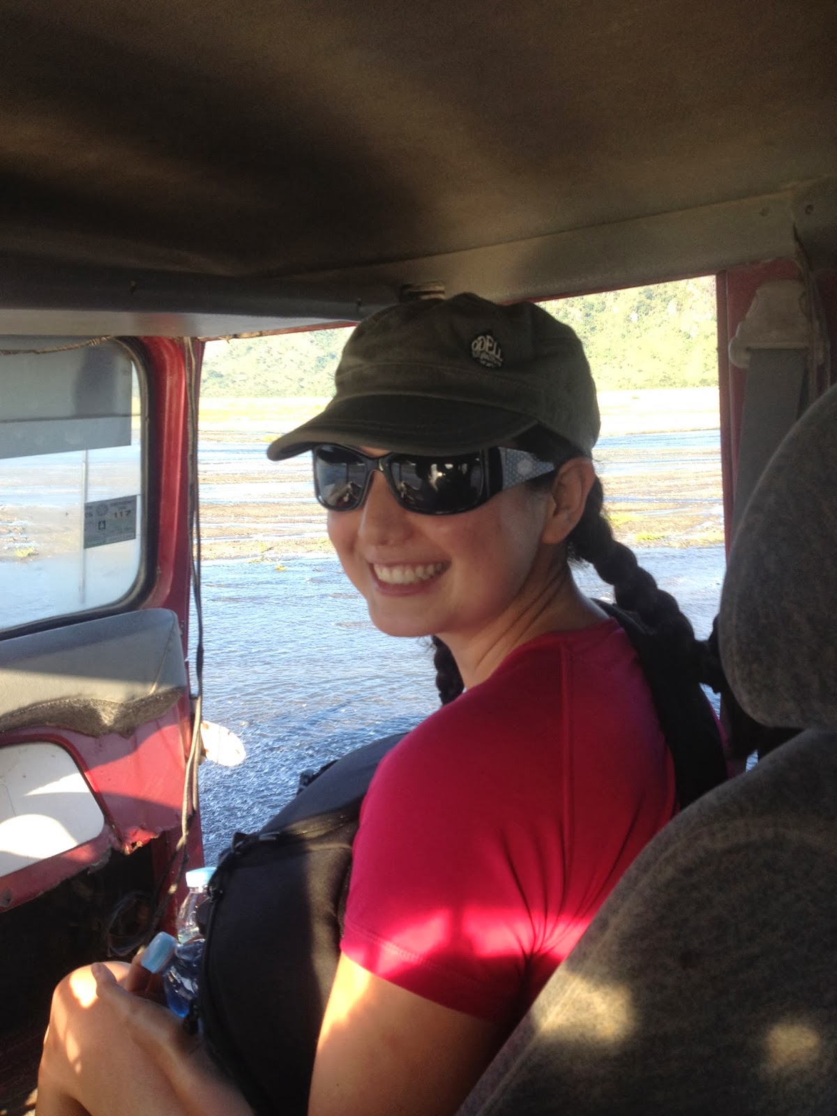
The jeep was a blast because it drove us up the ash flow from Mount Pinatubo. The route was across a huge valley that was once filled with sugar cane crops and farmers. Now, as far as you could see there was nothing, but ash. Water from the mountains still flows down and brings more ash and rock each year.


Moo!


As you drive closer to the volcano, the ash deposits get deeper and deeper. At first, it was only a few inches of ash but the deposits quickly rose higher than the jeep, then higher than a farm house, then three stories, then 5, then 10. Eventually you could not tell which hills were natural mountain and which ones were made of ash.


This is where the trailhead was. It took us about an hour and a half on the jeep to reach this point. The hike was amazing. The ground was like a sandy beach, and the terrain looked like the moon with grey dust and large lava rocks scattered around.


We met these guys on the trail. These indigenous kids were so smiley until we took the picture.
They loved seeing themselves in the camera too!


Sulfer and moss.


It was a slight incline the entire way until the last 12 and a half minutes.


This section was a step uphill to get to the crater. The view from the top was amazing! Suddenly the ash was gone, and you could see green/blue water and steep mountain sides covered with green vegetation.


We stayed here for an hour or so and ate our packed lunch before heading back down the same way.


What stood out most to me on this whole volcano trip was the diversity in landscapes. The devastation in the middle of a beautiful valley was strange to see. The erosion to the mountains and ash deposits that have taken place since the eruption in 1991 was cool to see. The oasis in the crater itself was unexpected. As a side note, this area is where the USA Air Force holds target practice with the Philippine Air Force. I would love to see that take place.

After a long day of travel and hiking, we grabbed a quick shower despite this giant cockroach and boarded the motorcycle side car to take us to a bus that would take us to Baguio for the night.

There he is! 


Pronounced "Bag-yo"